 01
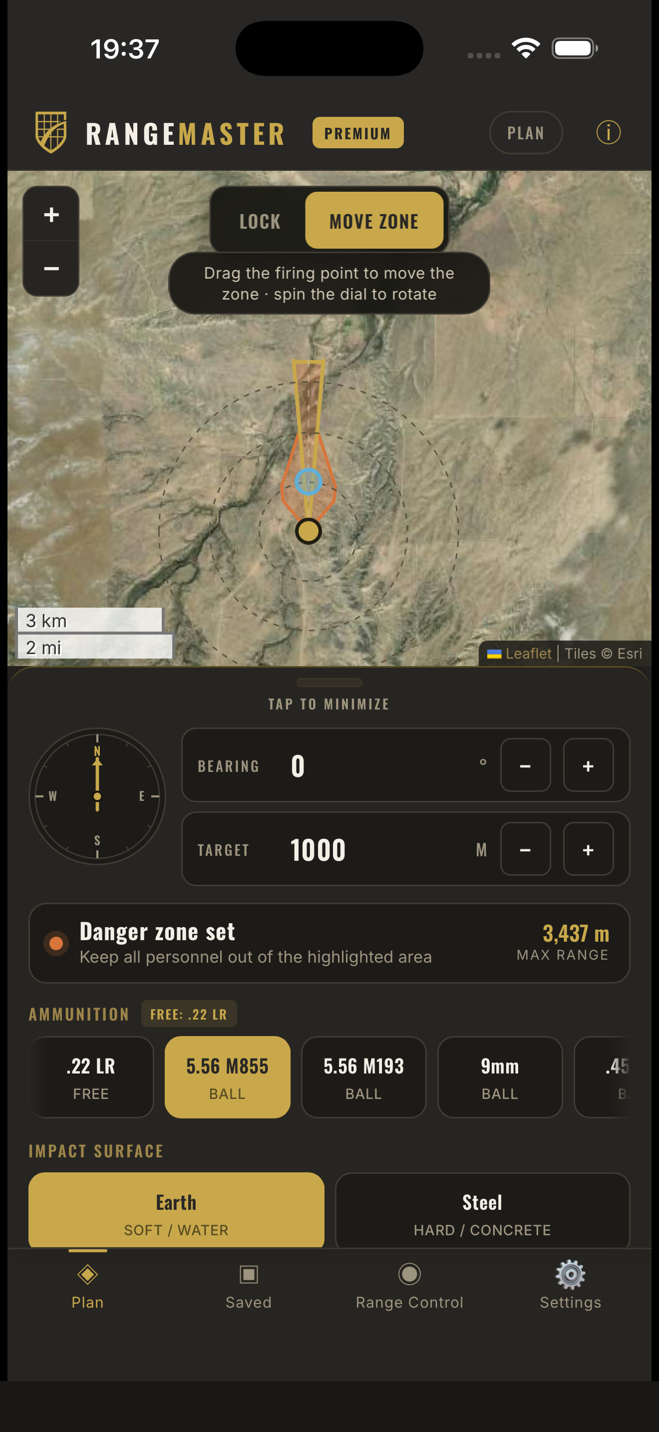
01Start with the map
Place the range context on a live map and see the preliminary direction and footprint together.
Range Master / public examples
Range Master puts a preliminary outdoor range planning overlay on a live map. These examples show the public product without publishing the code or safety logic behind it.
iPhone and iPad · Data Not Collected · Free download
Three public views
The app helps a user place the first planning information on a map, compare a range layout, and keep a preliminary record together. Final project work may require verified property information, accepted standards, terrain review, and a qualified reviewer.
01Place the range context on a live map and see the preliminary direction and footprint together.
 02
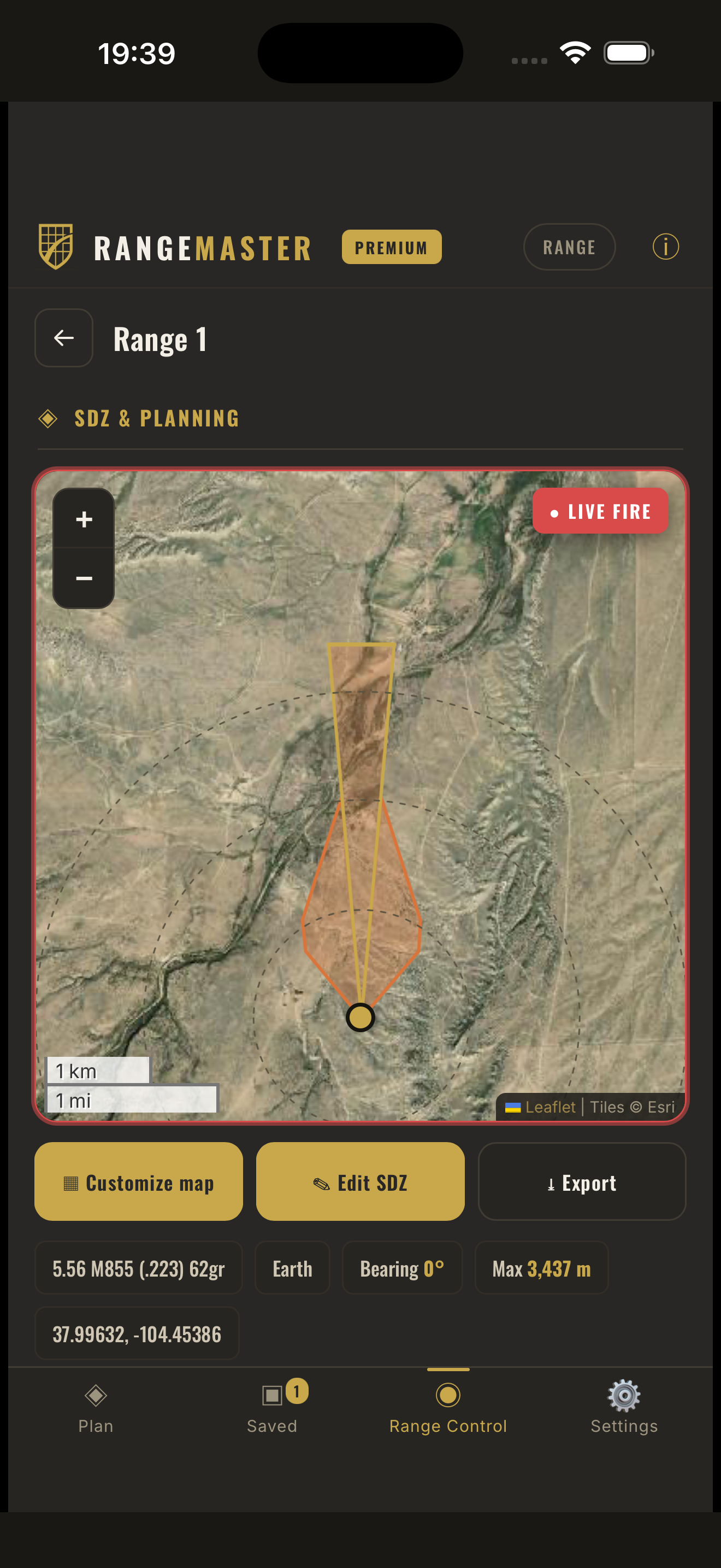
02Keep firing points, target direction, and the early range picture in one planning view.
 03
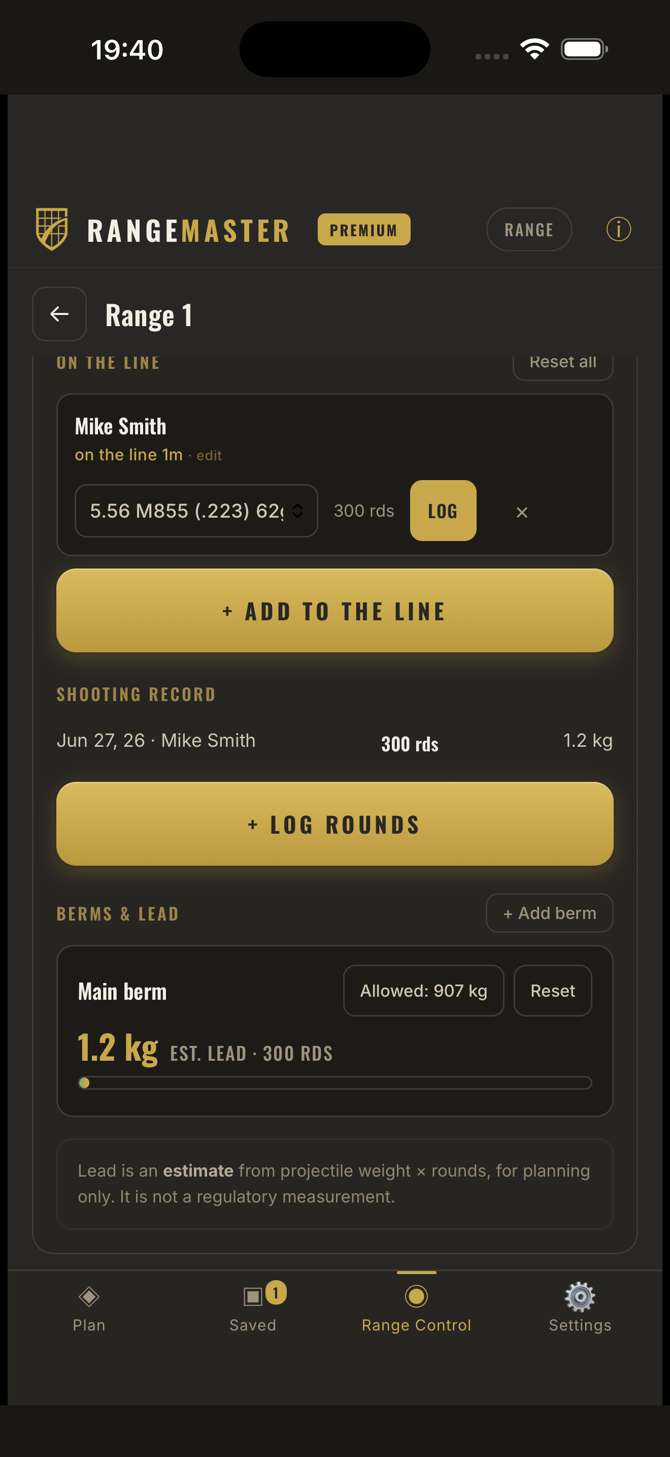
03Save a preliminary range record so the next project conversation starts with something visible.
The boundary matters
Range Master does not provide a boundary survey, site-specific risk assessment, permit approval, certified SDZ, containment certification, or final safety determination. See how project mapping differs.
Available for iPhone and iPad